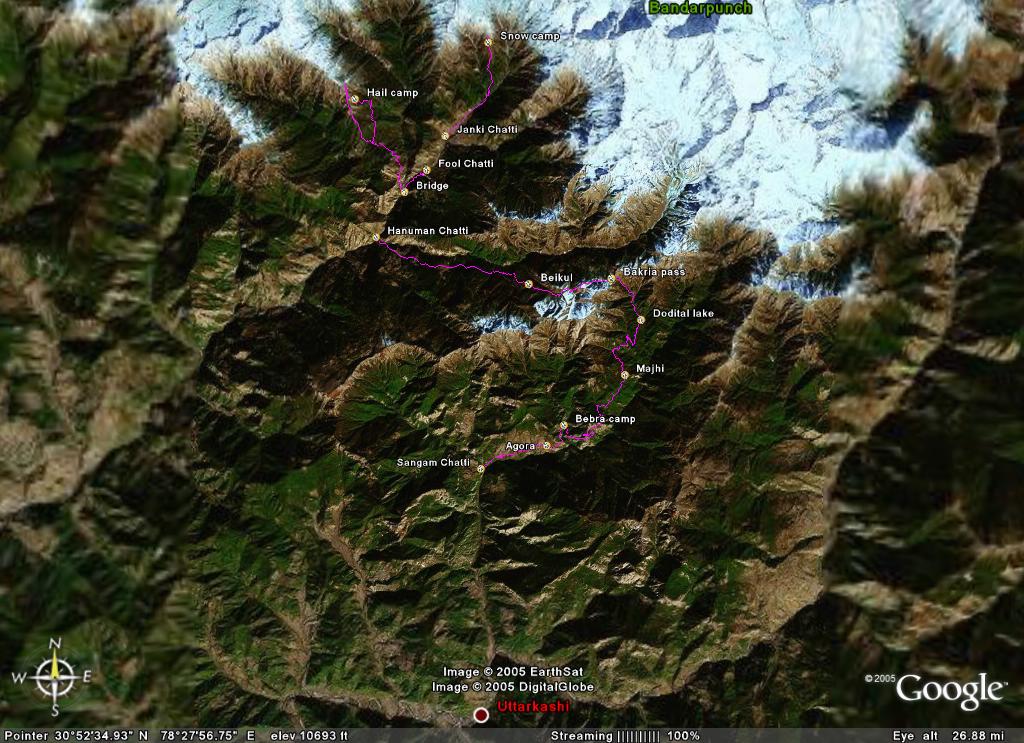
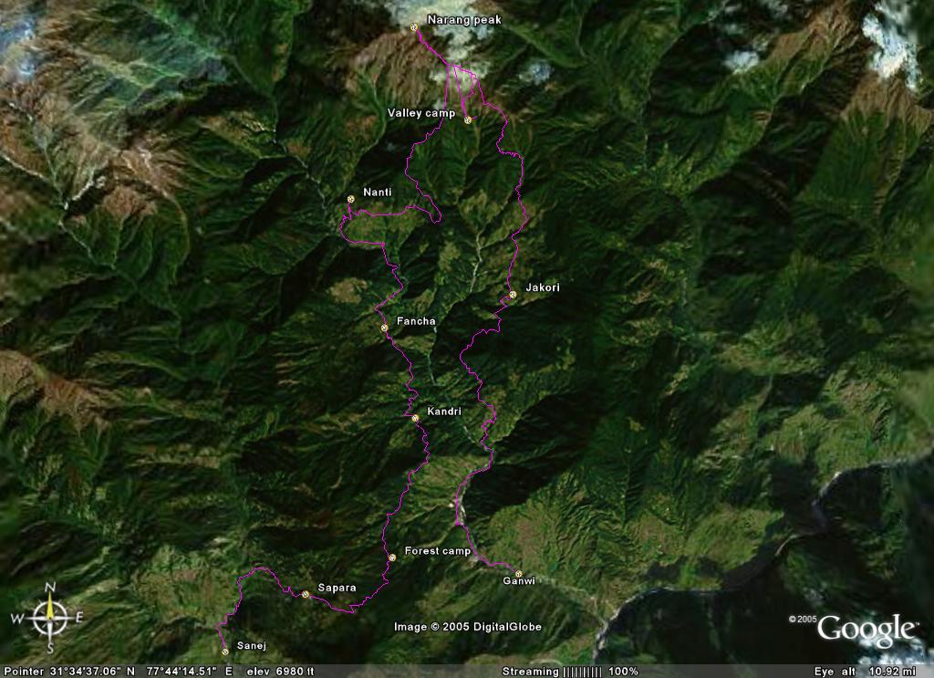
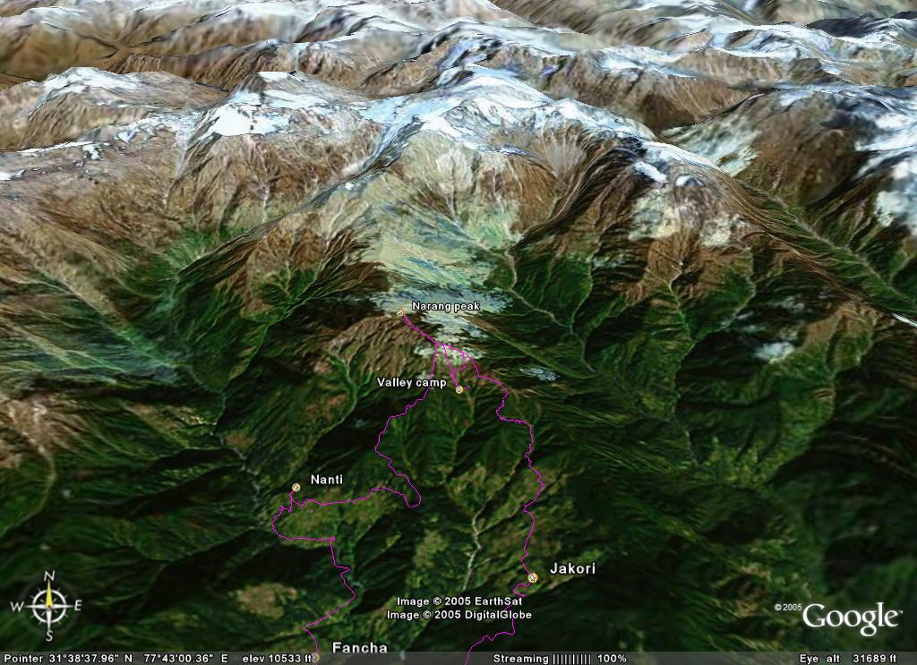
During the trek I used my Garmin eTrex Legend to track our path. Using Google Earth (thanks Tom and Oliver for the tips) and Top50Trans I plotted the tracks on satellite image maps. Google earth also has access to the world wide elevation data, making it possible to show the mountains in 3D. If you're interested in the raw GPS data feel free to mail me at the address below.
The picture shows me saving the waypoint in the blizzard at the Rupin pass (thank you Jan).